

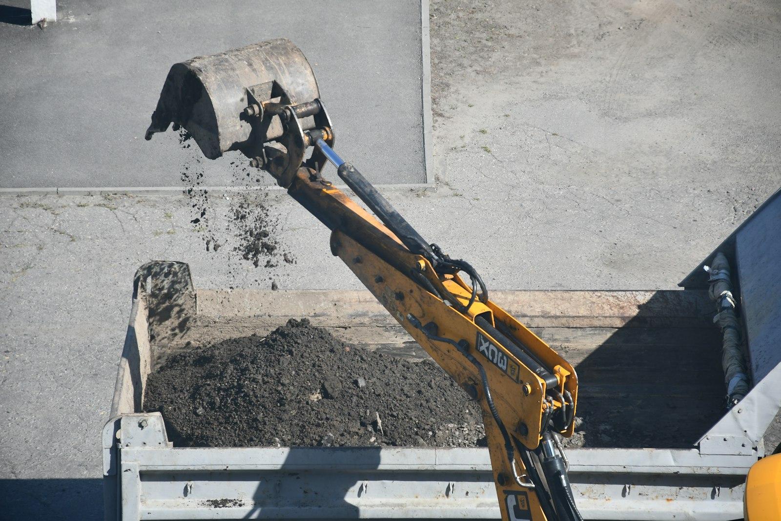
For developers, general contractors, and civil project teams, land grading in Charlotte, NC is about controlling elevation across an entire development with purpose. Finished and interim grades have to support building pads, roadways, utilities, stormwater infrastructure, retaining systems, and future construction while working with the conditions already on the property.
That means a grading plan cannot be based on appearance alone. Soil behavior, existing slope, stormwater flow, haul routes, utility corridors, roadway elevations, and the location of future improvements all influence how much material should be cut, filled, compacted, imported, exported, or left undisturbed.
Charlotte Soil Changes the Approach
Many sites in the Charlotte region contain clay-rich soils that can behave very differently depending on moisture. Clay can hold water, become difficult to work when saturated, and require careful moisture control during compaction. The USDA Natural Resources Conservation Service offers soil resources that can help project teams understand the general characteristics of local soils before work begins.
Field conditions still matter more than assumptions. A site investigation may reveal unsuitable material, buried debris, soft areas, or previous fill that requires a different approach than the original plan anticipated.
Slope Controls More Than Appearance
Existing slope influences access, earthwork quantities, retaining needs, erosion risk, and drainage. A steep property may require significant cuts and fills to create usable building areas, while a flatter site may need subtle grade changes to keep water moving.
The goal is not always to make the property flat. In many cases, maintaining deliberate slope is exactly what keeps a site dry and functional. Finished grades should move water toward planned collection points or stable discharge areas rather than toward foundations, pavement edges, or neighboring properties.
Drainage Has to Be Designed Into the Grade
Grading and drainage are inseparable. Swales, detention areas, storm structures, slopes, and surface transitions all depend on elevation. The EPA’s construction stormwater guidance explains why runoff and sediment control matter while a site is actively disturbed, before permanent drainage is fully operational.
A grading plan should account for both routine rainfall and the paths water may take during heavier storms. Low spots, abrupt transitions, or poorly coordinated utility work can change runoff patterns and create problems that are expensive to correct after construction.
Cut and Fill Need to Stay Balanced
One of the biggest grading decisions is how soil will move across the site. Cutting high areas produces material; filling low areas consumes it. A balanced plan can reduce hauling, but only when the excavated soil is suitable for reuse and can be placed where the project needs it.
Material should not be reused simply because it is available. Organic soil, debris, overly wet material, or other unsuitable fill may need to be removed. Conversely, certain areas may require imported stone or engineered fill to meet the intended use.
Compaction Protects the Finished Work
Any area receiving fill needs to be built up in a controlled way. Correct elevation without adequate compaction can lead to settlement beneath foundations, pavement, sidewalks, retaining structures, or utility trenches.
Carolina Precision Grading’s site work services connect earthwork with storm drainage, sanitary sewer, water distribution, erosion control, site concrete, and other infrastructure. That coordination is important because each of those scopes affects the final grade and the stability of the finished site.
Local Development Requirements Matter
The City of Charlotte’s Growth and Development resources provide information for projects moving through local review. Mecklenburg County requirements may also apply depending on the site, jurisdiction, disturbance area, and project type.
Project teams should confirm applicable permits, erosion-control requirements, inspections, and approved plans before significant grading begins. Starting earthwork without understanding those requirements can create delays or force areas to be reworked.
Signs a Grading Plan Needs More Attention
Before construction advances, watch for:
- Water collecting where buildings or pavement will go.
- Fill being placed without clear compaction controls.
- Grading that conflicts with utility trenches or drainage structures.
- Steep transitions that may erode after rainfall.
- Finished surfaces that direct runoff toward neighboring property.
- Unclear elevations around roads, entrances, sidewalks, or building pads.
Frequently Asked Questions
How much slope does a site need for drainage?
There is no single slope that fits every project. The correct grade depends on the surface, drainage design, soil, structures, and local requirements. The grading plan should establish the appropriate elevations and slopes for the specific site.
Can a flat lot still need grading?
Yes. Even relatively flat land usually needs intentional shaping so runoff reaches the right outlets and does not collect near structures or pavement.
The Bottom Line
Successful land grading on large Charlotte-area developments comes from reading the entire civil plan, not simply moving dirt until the site looks level. Soil, slope, mass earthwork quantities, drainage, utilities, roads, retaining needs, and construction sequencing all have to work together. Coordinating those factors early gives developers and contractors a more stable, buildable site and reduces conflicts between civil scopes as the project advances.

Leave A Comment